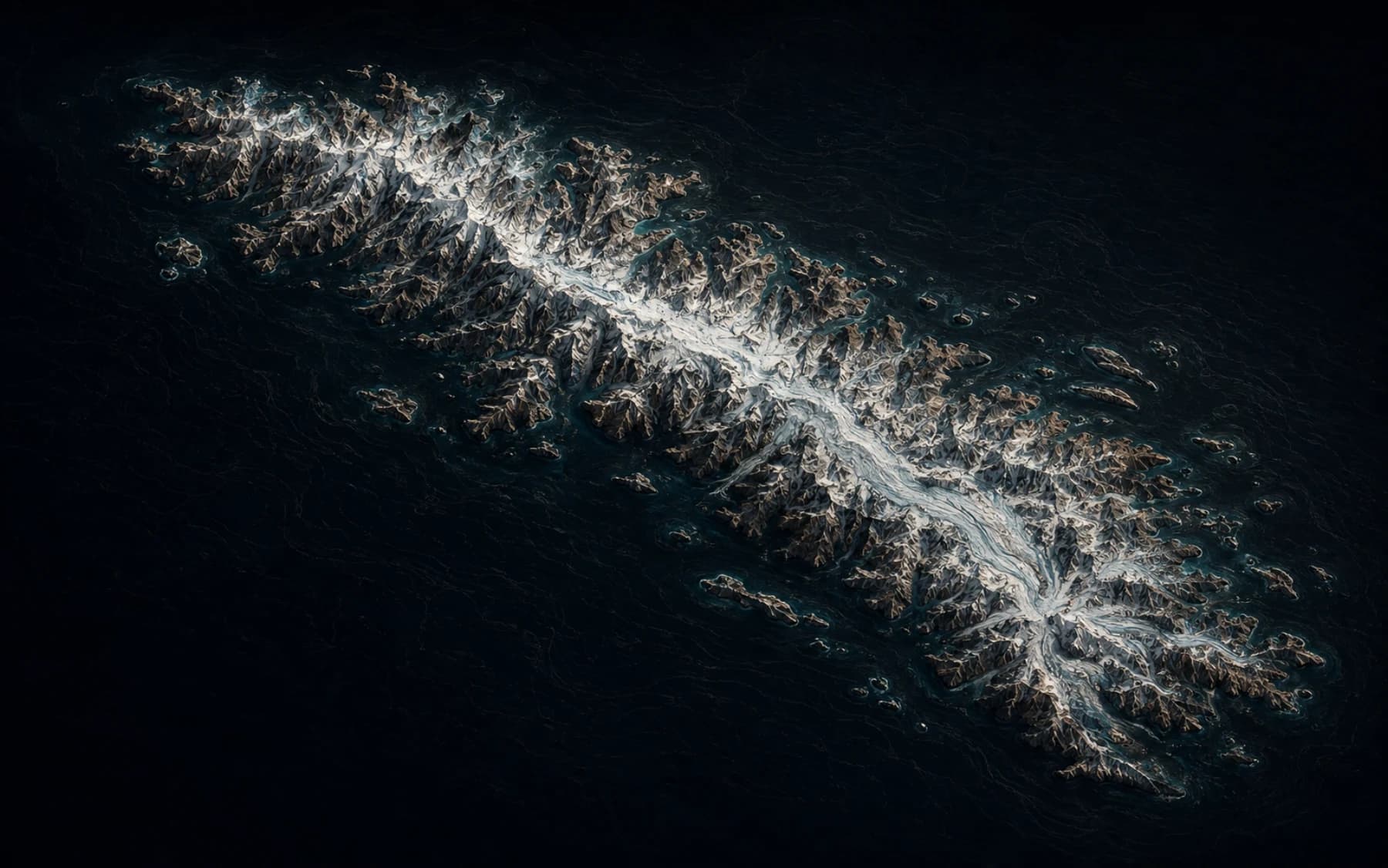
South Georgia
54.38° S · 36.70° W
54.38° S · 36.70° W
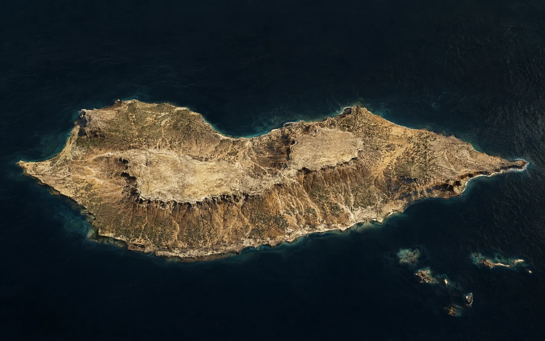
12.50° N · 53.83° E
What keeps a settlement alive after industry leaves?
How did this flora survive in isolation?
Lonely Island begins where ordinary travel sites stop: the airstrip with one weekly arrival, the ferry that runs only when the sea agrees, the permit you did not know you needed.
We map each leg, preserve uncertainty, and layer in field notes from people who have actually made the crossing.
Search familiar names or follow faint signals: volcanic outliers, forgotten military stations, islands with a single road, islands with none.
Enter all 301,090 recordsEvery line is a sequence, not a promise. Conditions marked uncertain should be confirmed with the operator or authority before money changes hands.
Follow a question through ecology, history, weather, and firsthand memory. The deeper files reveal themselves in layers—without turning living places into spectacle.
Ask the atlas with ProWhat keeps a settlement alive after the industry that made it disappears?
South Georgia · polar-remoteFragment 02How did this flora survive for millions of years in isolation?
Socotra · africa-middle-eastFragment 03What becomes visible when you follow torshavn and tinganes beyond the familiar map?
Streymoy · europe-atlantic“What changed between the published route and the journey you actually made?”A field note worth leaving
Mark where you have been, keep a private want-list, or add the small logistical detail that changes someone else’s journey.
Read field notes →